John Winters Park is a small open area in downtown Raleigh. It was named after John W. Winters, Sr. (1920-2004), Raleigh’s first African American city councilman and one of the first African Americans elected to the North Carolina State Senate since the Reconstruction Era. Continue reading “John Winters Park”
Category: Greenways
North Wake Landfill Park
Wake County has transformed North Raleigh’s “Mount Trashmore” into its newest park. This 36-acre county park is located on a 200-acre site that, up until 2008, was the location of a landfill containing 500 million tons of trash. The trash is still there, but it’s hidden under a playground, trails and one of the highest points in Wake County. Continue reading “North Wake Landfill Park”
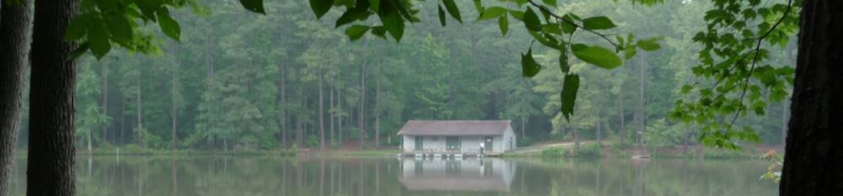
Anderson Point Park
Now that the warm weather is here to stay, it’s a perfect time to visit Anderson Point Park. Continue reading “Anderson Point Park”
Lots of Activity in North Raleigh
It’s a great time for parks and greenways in Raleigh! As I mentioned recently, there have been eight dedications and a groundbreaking in the last eight months! Here’s a roundup of some exciting things that are currently in the works for North Raleigh. Continue reading “Lots of Activity in North Raleigh”
Little Rock Greenway
Raleigh recently completed an extension to the Little Rock Greenway that creates 25.5 miles of interconnected trails with access to downtown Raleigh. Continue reading “Little Rock Greenway”
Joe Miller Maps NC’s Greenways
Earlier this week, Joe Miller of Get Going NC! announced that he would be starting a project to map North Carolina’s greenway system.
In my limited way, I’ve tried to piece together information to help you navigate sections of Raleigh’s greenways and find the connections between smaller sections of trail. But Joe’s not just focusing on Raleigh, he’s tackling the whole state. Armed with his GPS, he’ll be riding the trails and collecting data. If you’ve got a favorite section of trail or suggestions about data that you’d like Joe to capture, let him know.
Hiking at Falls Lake
Did you know that there is a 20+ mile long hiking trail in North Raleigh? Great for fun hikes with families or longer multi-day trips, the South Shore trail at Falls Lake is great destination for hikers of all skill-levels. Continue reading “Hiking at Falls Lake”
Honeycutt Park
Honeycutt Park is a fairly new park in North Raleigh that offers some nice play options and holds the key to greenway connections coming soon. Continue reading “Honeycutt Park”
Plan a Family Greenway Adventure!
 Our family has spent many fun hours riding on Raleigh greenways. Our 7-year-old son has learned a lot of biking skills (warning pedestrians before passing, avoiding dog leashes) and our 4-year-old daughter has been learning to sit on a saddle (bike seat) for long periods of time (tough work for a 4-year-old) during these rides. It’s a great way to get active and a fun way to discover some of Raleigh’s secret greenway treasures. Since most of this greenway follows Crabtree Creek, the trail is fairly flat – ideal for young riders. Continue reading “Plan a Family Greenway Adventure!”
Lower Walnut Creek Trail
This morning I decided to spend some time exploring the Lower Walnut Creek Greenway. According to the greenway map that I was using (here’s a link to the 2010 version), this stretch of trail is 4.2 miles long. Unfortunately, the trip computer on my bike stopped working, so I’m not really sure how far I rode. This trail connects with the Rocky Branch Trail, providing passage from NC State at its west end, east almost to Walnut Creek Park along the south side of Raleigh.