 Our family has spent many fun hours riding on Raleigh greenways. Our 7-year-old son has learned a lot of biking skills (warning pedestrians before passing, avoiding dog leashes) and our 4-year-old daughter has been learning to sit on a saddle (bike seat) for long periods of time (tough work for a 4-year-old) during these rides. It’s a great way to get active and a fun way to discover some of Raleigh’s secret greenway treasures. Since most of this greenway follows Crabtree Creek, the trail is fairly flat – ideal for young riders.
The map above is a marked-up sub-section of the Capital Area Greenway Map (here’s a link to the 2010 version). If you’re interested, a large-ish fold-out version is available for free and most bike shops in the area have a couple of them on-hand. Click on the map thumbnail to view a large version.
There is a bit of a trick to piecing together longer rides. The ride that has become our favorite links together four separate greenway trails into one longer ride. To make the entire trek, you’ll need to cross Anderson Road and travel a bit up Raleigh Blvd (via sidewalk). I’ve marked the tricky spots on the map. There are also a couple of spots where there are spurs that lead off to neighborhoods. In general, if you have two choices and one goes uphill, stick with the flat route. Since the trail follows the creek in most places, hills lead you out of the creek valley. If there’s not a hill, look for markings on the trail – there are sometimes white arrows placed by running clubs to mark the correct route. Also – turn away from the soccer fields at the Kiwanis park (Q-16 on the map). Raleigh Parks and Recreations are working on wayfinding signs for the area greenways, so navigation will become easier in the future.
If you take the entire route I’ve marked, out and back, the ride is about 12-15 miles. I recommend starting near the middle of the route so that you’re never too far from the car if your little ones get worn-out.
undefined
undefined
undefined
Wetlands Inside the Beltline
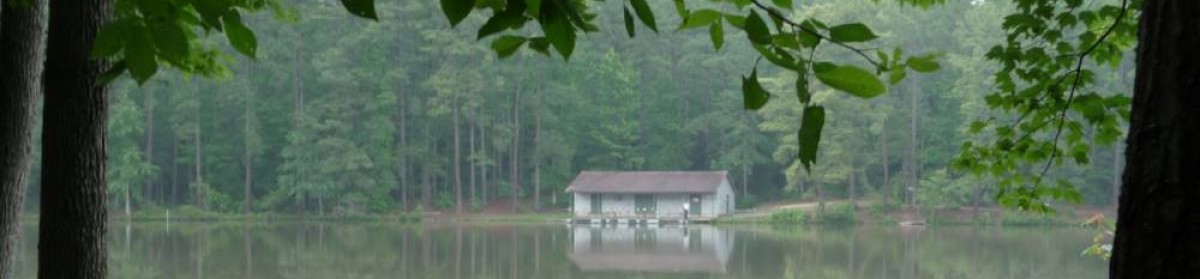
The feature that my kids enjoy most on this ride is a beautiful stretch of wetlands, crossed by a wooden boardwalk/bridge. Here’s a picture of the boardwalk on Panoramio. You’ll likely see turtles and water-loving birds, including the occasional heron. There’s a nice gazebo to use for a snack-stop. This area is marked with a D on the map above. If you’re walking, the quickest way to get to this area is to park in the lot on Crabtree Blvd, just west of Raleigh Blvd. You’ll have to walk around the corner and north a bit on the sidewalk, but it’s a pretty short walk and well worth it. If you’re up for a bit longer hike, park just off of Capital Blvd (the pink P on the map). There’s a little bit of parking in a pull-off side road in front of a used-car lot just south of the belt-line.
A Short Ride
If you’re looking for a fun ride, park at the parking area noted with a C. This lot is only available to the public on weekends. If you head east from this parking lot, you’ll pass under Atlantic Ave, cross under some train tracks and get to ride on what my kids have dubbed “The Rollercoaster” – a raised and hilly wooden walkway that takes you along the side of Crabtree Creek. It’s pretty impressive. Note that this section may be messy if we’ve had a lot of rain recently.
The Whole Route
When we ride the entire route, we usually park at the lot on Atlantic Ave ( C ) and start by going east under Atlantic. This is the hilliest part of the ride, so we like to do it early in the ride, not when the kids are worn-out. The Buckeye trail (marked with a 6 in a red circle) winds through some old-growth forest along-side some class-3 rapids on the creek. It’s really pretty. We normally turn around when we hit the neighborhood park next to the trail. If you go much past that you hit Big Hills (marked G). This area is beautiful, so check it out if you don’t mind riding the steep switchbacks.
After riding out and back to the east, we pass our car and go back to the west. This section is really flat and makes for some pleasant riding. We stop and turn around at Lassiter Mill. The trail west of this point involves riding on the roads a bit and isn’t recommended for the kids.
Taking it Further
If you cross Lassiter Mill Road at the west end of the trail I’ve marked, you can visit the old Lassiter Mill. Check out the pics posted by John Dancy-Jones on his Raleigh Nature blog (favorite spot to drown worms!) . If you don’t mind taking to the roads a bit, you can re-connect with the Alleghany trail. This trail connects north to Shelley Lake or further west under Glenwood, continuing almost to Duraleigh Road. There are plans to eventually connect from the end of this trail, through the quarry to Umstead park.
Please let me know if you decide to try part of this ride! Any suggestions or clarifications are welcome.